Geospatial Photogrammetry in Mapping Asia's Remote Deserted Settlements
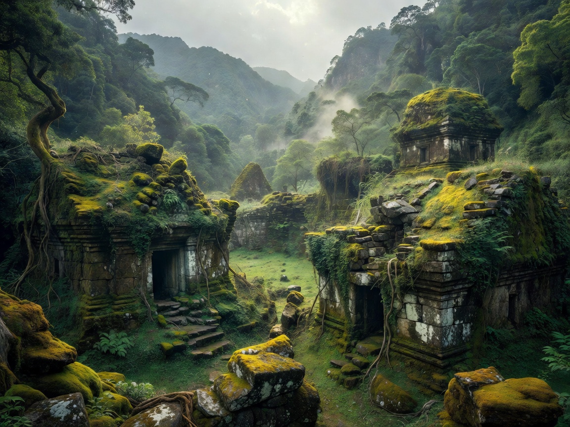
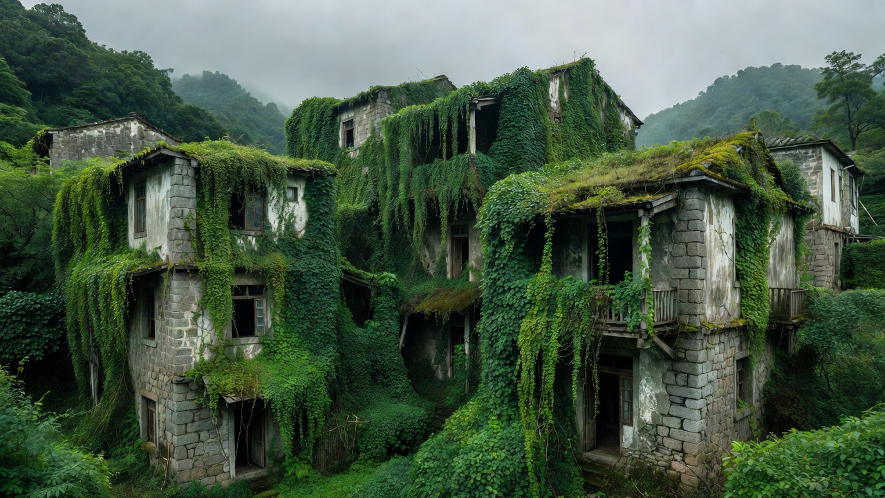
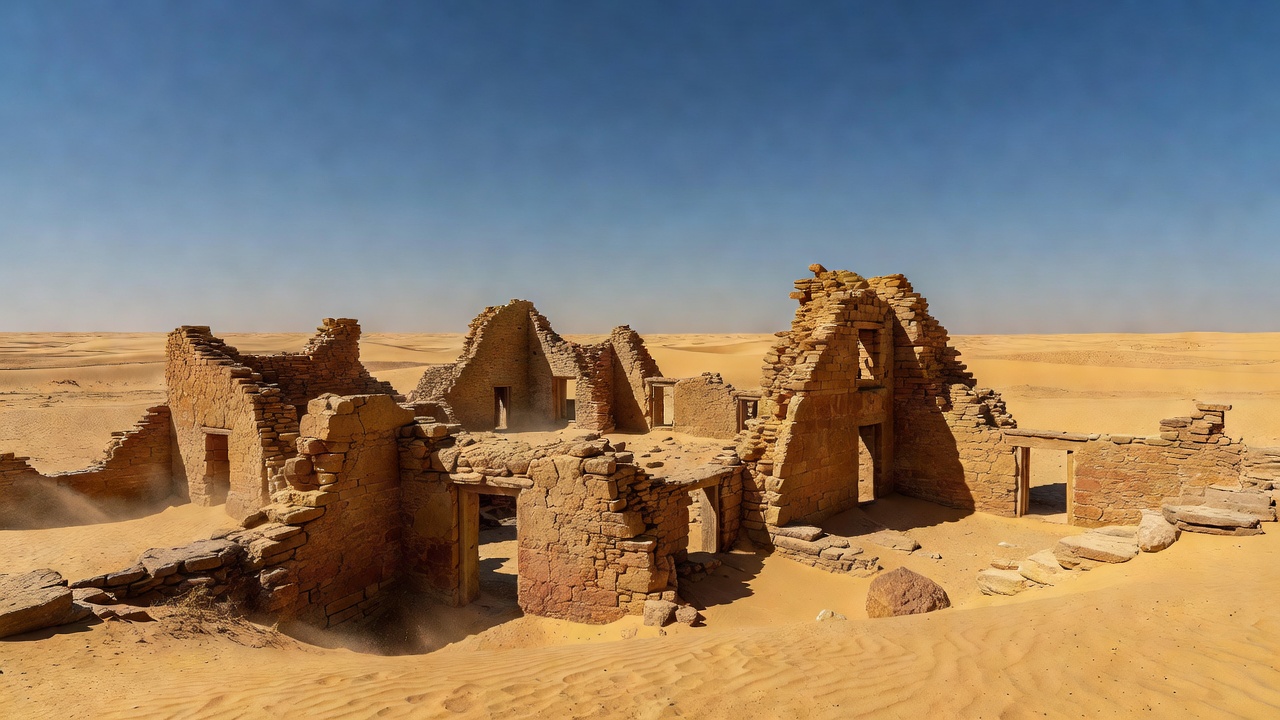
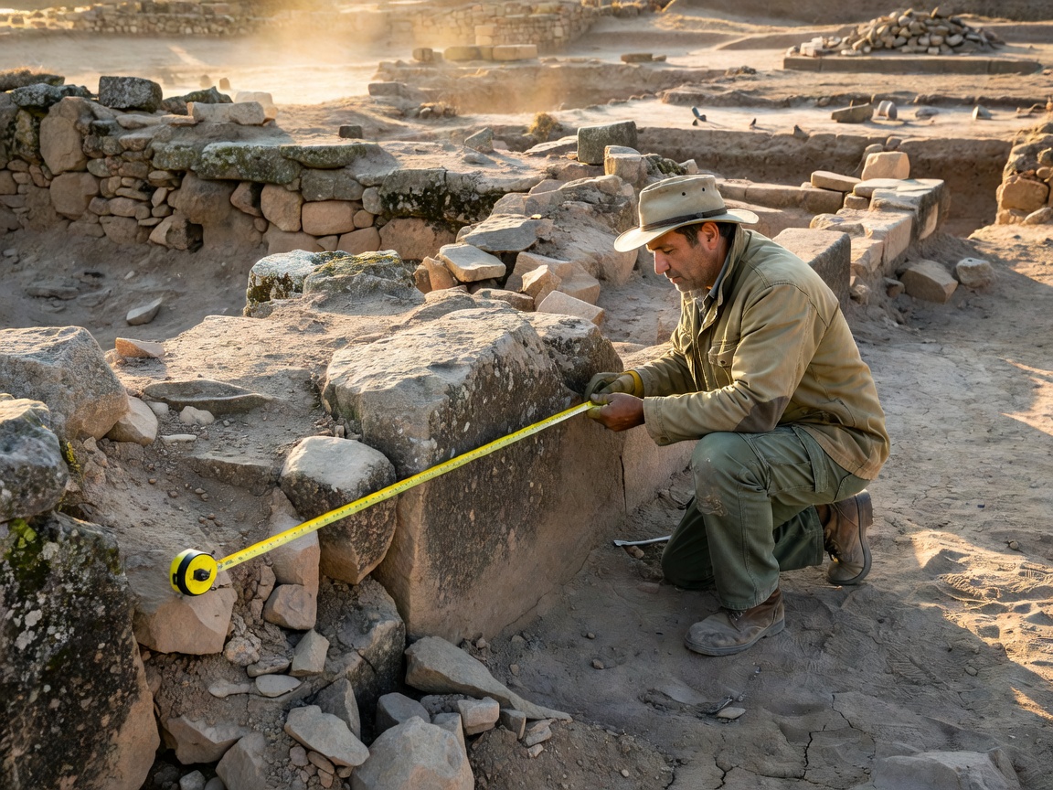
An in-depth analysis of how our research teams utilize low-altitude drone photogrammetry and 3D point-cloud modeling to digitally preserve structural elevations of abandoned high-altitude and coastal hamlets before severe monsoon erosion occurs.